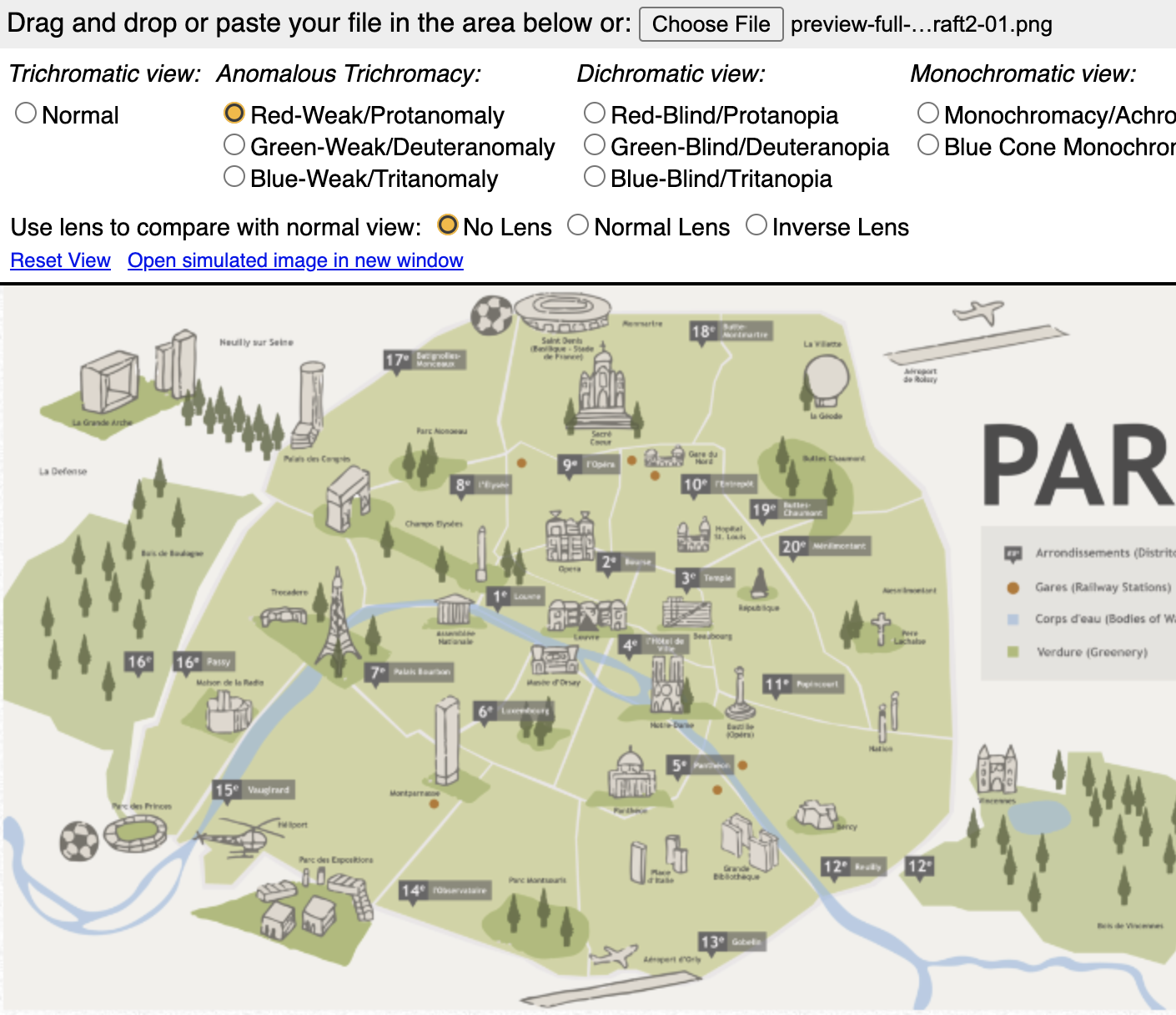
French Textbook Map Final Version
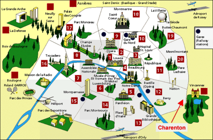
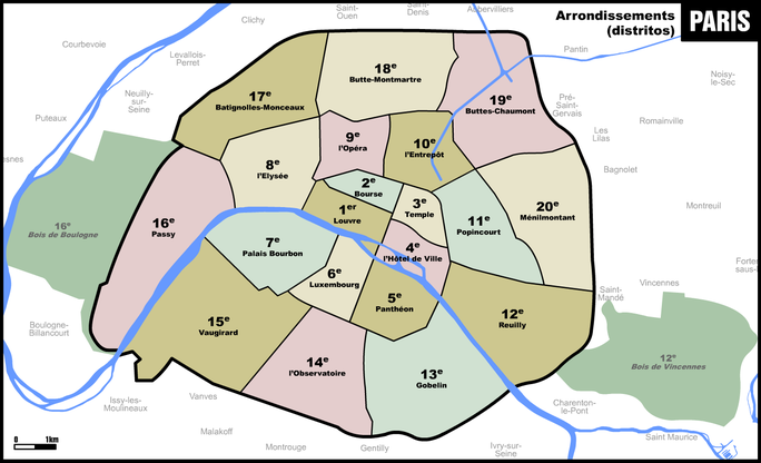
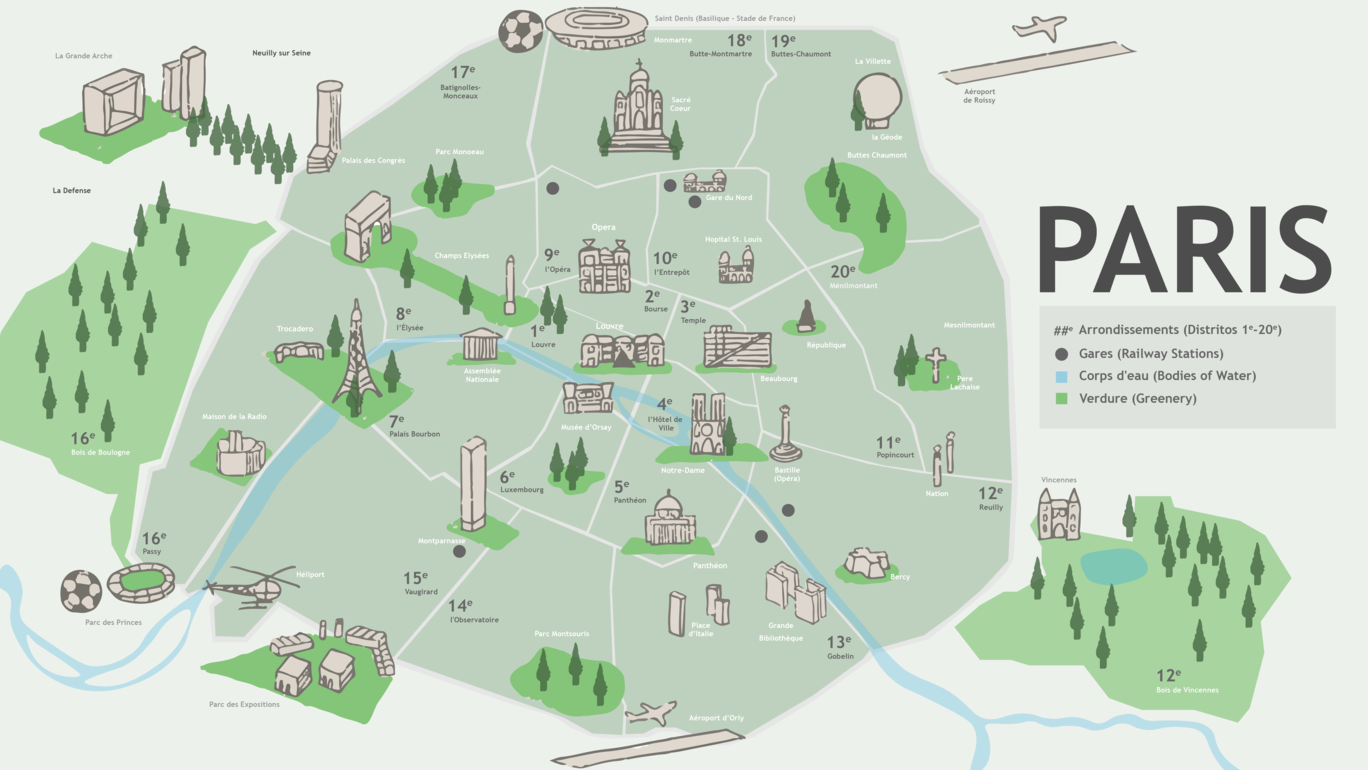
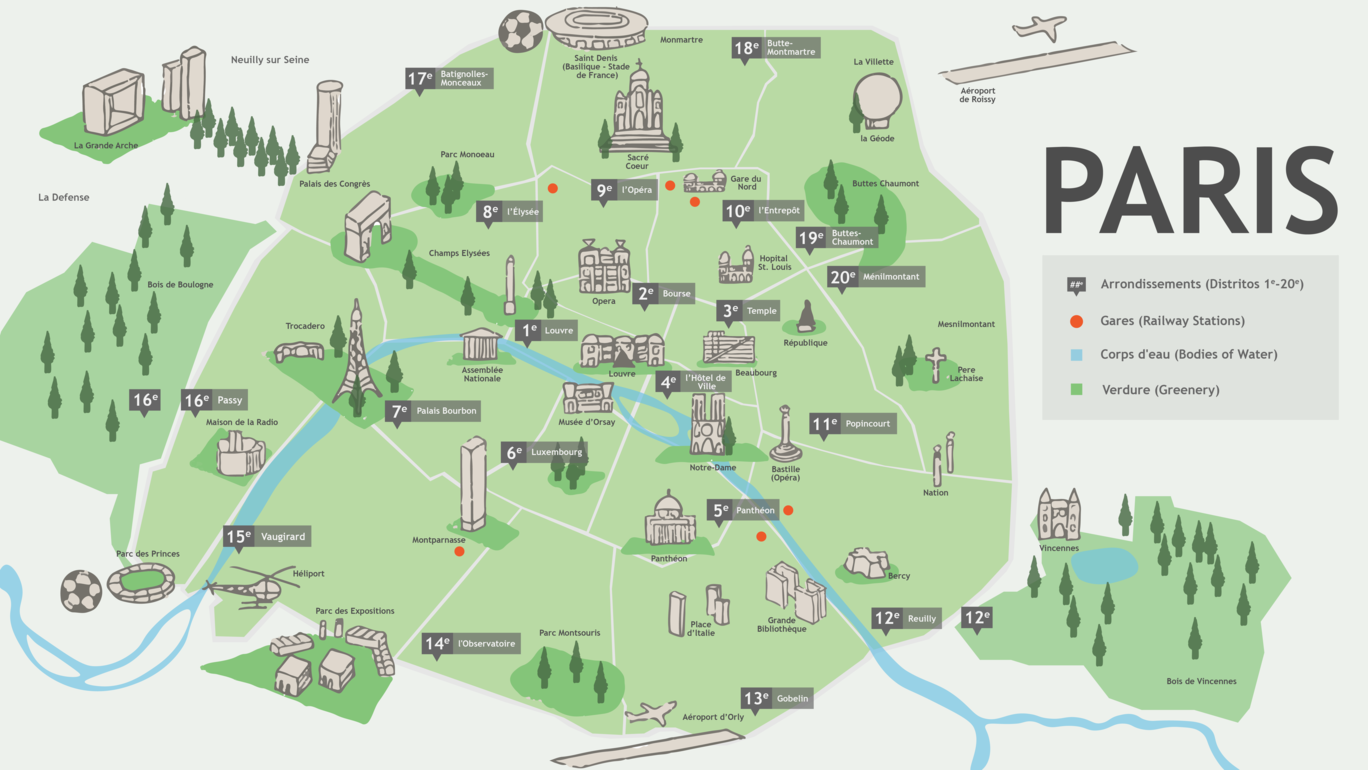
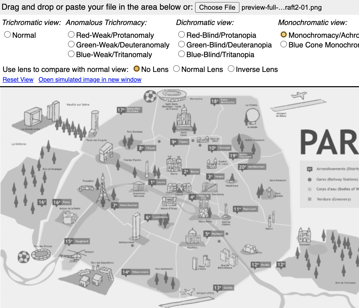
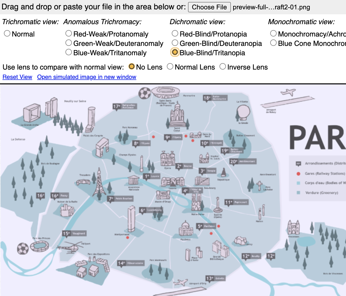
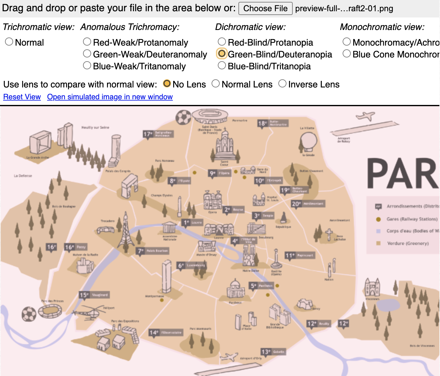
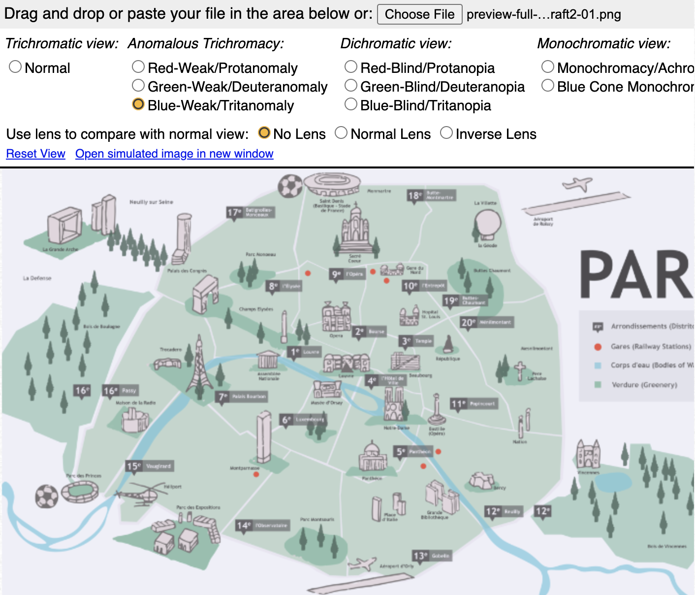
The French textbook map is has been completed and will be used on the platform Lingco as supplementary material. The first two images were the maps I was given to combine into a single image. It contained a lot of detailed names of places I had to type out and sometimes look up because the text was too pixelated and monuments that I had to illustrate and rasterize by hand. The clients were satisfied with how the map looked so I moved forward with adjustments on contrast so that maps legend and features are distinguishable among different color-blindnesses. I found that it’s not so much saturation that matters than it is the contrast in values. I made the railway stations a lot brighter against the background. I also darkened all the text.
Here are what the maps look like in the different simulators:

