Canvasser Activity
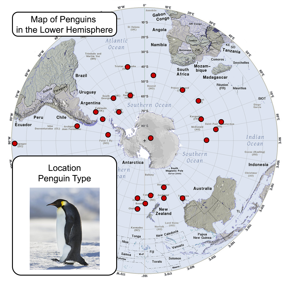
I started off my Canvasser activity planning to create an interactive map of penguins in the southern hemisphere in which you would click a point in the map and a pop-up would show the type of penguin that lived in that specific location. Here’s some previews I made:
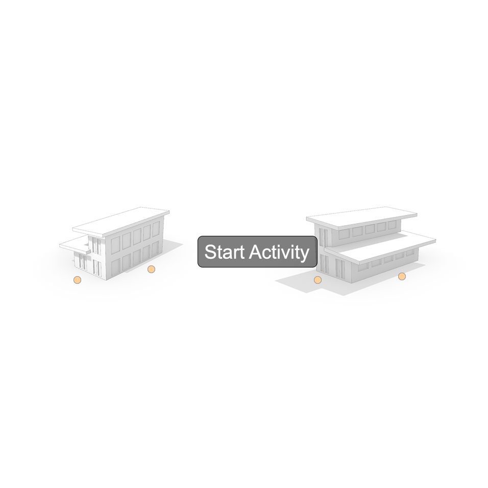
Unfortunately, the activity wasn’t related to my CLIO website topic, so I came up with another idea. The player would be looking at a house located in Austin. They would be able to see the patterns of sunlight and shadows throughout the day, and make an assessment of which walls get the most sunlight. This would be the interface that prompts the start of the activity:
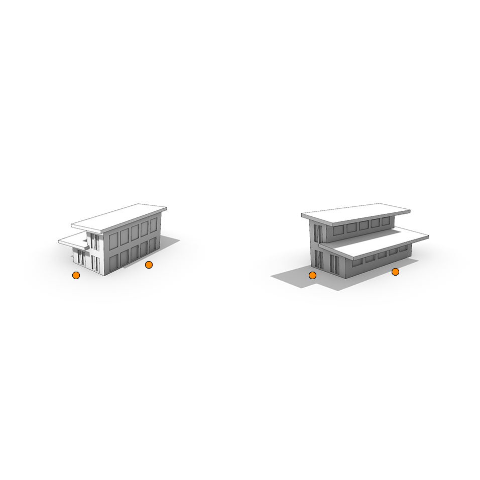
The orange buttons indicate a pop-up that shows each wall of the house:
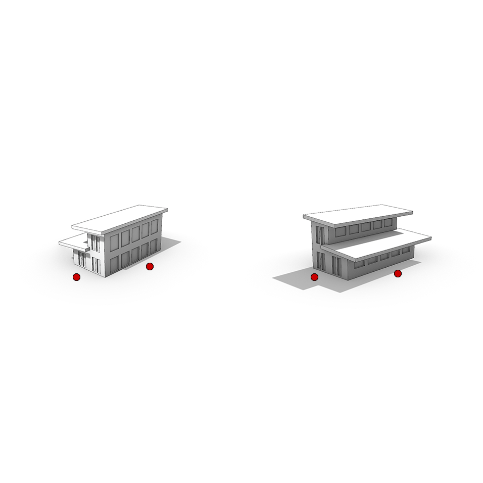
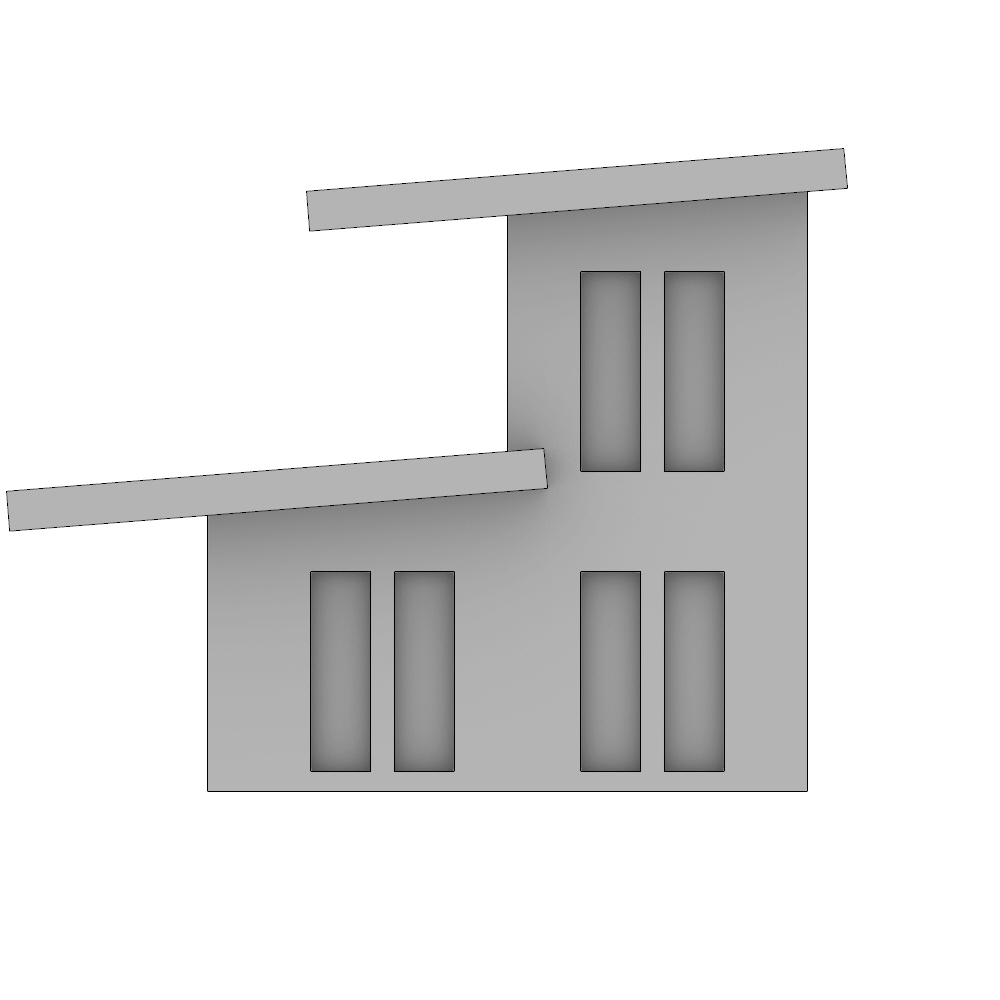
Here is how each of the walls of the house look:
With a moveable measuring tape, the player will be able to measure windows and wall elements:
Photo IDs
Here are some of the photo IDs I edited this week:

